
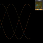
Detects when a rocket launches with a satellite in its cargo and begins to map out the world in the same way as a satellite track might appear on a flat map. Much like the radar units the current square being observed by the satellite will be fully visible while other squares it has already revealeed will be the more general color coded type map.